High Water Season Events
Become a community scientist by observing coastal flooding in your community!
With thousands of miles of tidal coastline, and the combined threats of storm surge and sea level rise, we need to understand the increasing impacts of flooding from sea level rise and coastal storms. That’s where you come in! Join our coastal flooding community science events to learn about sea level rise and coastal flooding, how to contribute your own photographs and observational data to the Coastal Flooding Community Science Project, and what you can do to support your community or region in preparing for coastal change.
By participating in our coastal flooding community science events, you will:
- Learn how coastal flooding from storms and sea level rise impacts our shoreline.
- Help identify what weather and water level conditions lead to coastal flooding at locations of importance to your community by collecting flood impact photos.
- Boost our understanding of what shoreline areas are most vulnerable and critical to coastal communities.
Upcoming High Water Season Events
Keep checking back for more opportunities to participate during the fall high water season!
-
OCT23
Fall Fridays: Sea Level Rise and the Casco Bay Islands
A walk and talk at the Portland ferry terminal exploring nature-based strategies and sea level rise impacts on Casco Bay islanders.
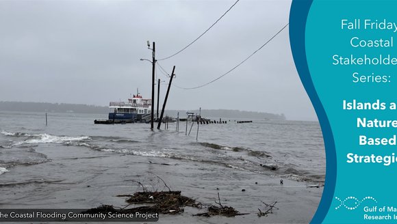
Our Coastal Flooding Community Science project aims to answer the questions, "what weather and water level conditions are associated with coastal flooding in our community?” and “what areas of our shoreline are most vulnerable and critical to our community?”
About twice a year, the movements of the earth, sun, and moon align to create larger-than-normal tidal ranges across Maine’s coasts, resulting in a “high water season.” The highest tides in these periods often overtop coastal infrastructure, providing a critical opportunity to build our understanding of flood impacts in coastal communities. This project supports the collection of water level and weather data that helps towns, emergency management, and homeowners prepare for future storms and scenarios of sea level rise.
You can join events across the Maine coast during the high water season to contribute photographic data and your own perspectives to our database, learn how community-collected data informs long-term planning and near-term emergency preparedness, and connect with other community scientists tracking coastal change around the Gulf of Maine.
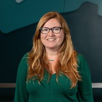
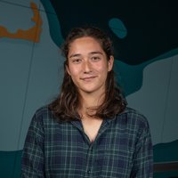
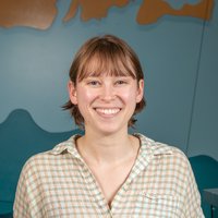
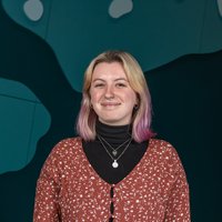
Coastal Flooding Community Science Team
-
GMRI Scientist Helps Set the Research Agenda for Future U.S. Climate Assessments
Our Chief Scientific Officer, Dr. Janet Duffy-Anderson, co-authored a new commentary identifying the research priorities that will shape the next generation of U.S. climate assessments, …
Announcements
-
2025 – 26 Education Impact Report: 10 Years of Learning Ecosystems Northeast
Read on to see some of the ways our education team made an impact across the state and beyond in the 2025 – 2026 school …
Perspectives
-
10 Years of Learning Ecosystems Northeast: Sherri Calhoun's Journey
Learning Ecosystems Northeast is celebrating its 10-year anniversary this year. We asked one longtime LENE participant how the program has shaped her career.
Perspectives
-
Intern Reflections 2026: A Summer of Learning
With another summer intern season in the books, we asked a few interns, including one from Quahog Bay Conservancy that participates in our science communication …
Perspectives