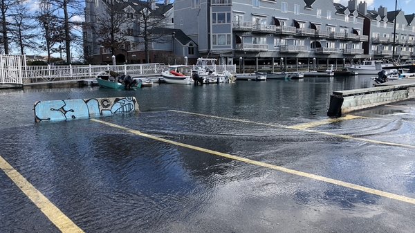
Gulf of Maine, Explained: Storms and Coastal Flooding
Gulf of Maine, Explained | Jan 30, 2024
In this edition of Gulf of Maine, Explained, GMRI Postdoctoral Researcher and coastal hazards expert Dr. Hannah Baranes talks about how we can use the predictability of tides to better forecast flooding caused by storms as sea levels continue to rise.
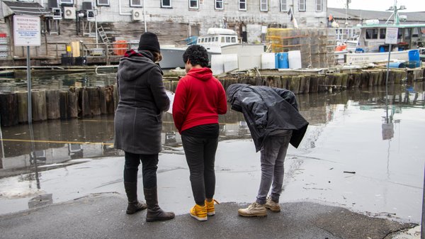
In 2018, Dr. Hannah Baranes, a coastal scientist in our Climate Center, became interested in pursuing a career as a coastal flooding and sea level rise expert when she noticed something unusual about two storms. The storms themselves weren't that strong, but they led to record-breaking flooding along the Massachusetts coast. Why? The answer has to do with rising seas and unfortunate timing. These storms happened during high astronomical tides. The motion of the earth, moon, and sun cause tidal range to vary over the course of a day (we have a higher high and lower high tide each day), a month (tides are generally higher during full and new moons), and years (the longest cycle is 18.6 years). The two storms in 2018 happened to hit at a time when these cycles combined to make tides unusually high. All tides, though, have also been rising for years.
As the earth gets warmer as a result of human-caused greenhouse gas emissions, our oceans are also warming. As water warms, it expands. Melting glaciers and polar ice sheet are also contributing to sea level rise. With rising seas, we can expect higher and higher tides.
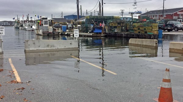
As sea level rises, we can expect that somewhere around 2050, we're going to go from seeing just a few days of high tide flooding a year to seeing somewhere around 70. And then later, towards the end of the century around 2100, we might see high tide flooding nearly every day.
Hannah Baranes, Ph.D. Coastal Scientist
While predicting storm-induced flooding is challenging, tides can be reliably forecast. Knowing when high tides will occur allows for proactive adaptation measures to minimize the impacts of flooding.
Adaptation measures include elevating structures, relocating utilities to higher elevations, and long-term planning for relocation away from the coast.
Dr. Baranes is hopeful that by addressing and studying high tide flooding in coastal towns throughout Maine, we can set an example for other communities facing similar challenges. Through proactive adaptation measures and resilient rebuilding, coastal communities worldwide can reduce the risked posed by the inevitable changes brought about by rising seas.
-
We help communities prepare for and learn about coastal flooding.
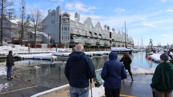
Explore the different ways that we support and engage communities when it comes to learning about, preparing for, and collecting data around sea level rise and coastal flooding.
- Assessing Coastal Flood Risk with Maine Communities
- Preparing Communities for Sea Level Rise
- Community Resilience Training
- Coastal Flooding Community Science
- Coastal Flooding Meetups
- Mapping Coastal Community Flood Hazards
Recommendations: How to Prepare for the Highest Tides
1) Monitor flood advisories and water levels.
- Look to your local National Weather Service (NWS) station webpage for information on coastal flood advisories and changing weather conditions. (NWS webpages for Southern and Midcoast Maine, Hancock and Washington Counties)
- Locate the nearest flood forecast point and monitor forecasted water levels. Note, NWS might define flood impacts as “minor,” “moderate,” or “major.” These are general categorizations that might not apply to every location.
2) Secure items that float (e.g. propane tanks, dumpsters) or move loose items and vehicles well beyond expected water levels.
3) Observe and take note of how high the water reaches relative to vulnerable structures, utilities, and outlets. In doing so, you'll be able to associate forecasted water levels with specific impacts, preparing yourself to manage flooding at high tides.
4) Familiarize yourself with what’s covered by your insurance policy and decide whether additional coverage is prudent and affordable. The Maine Bureau of Insurance has several resources to help you navigate insurance questions for flooding and natural disasters.
- Flooding FAQ
- Storm Damage FAQ
- Post-Disaster Insurance Guide (PDF)
- Homeowners and Renters Insurance
- Homeowners and Renters Insurance FAQ
5) Spread the word! Talk to neighbors, as well as friends, family, business partners, and others who live, work, or recreate in the coastal zone to ensure they’re aware of flood risk.
6) Plan for the future. Maine is committing to manage 1.5 feet of sea level rise in 2050 and 4 feet in 2100. How would this high tide impact your area on top of these higher sea levels? What do you need to do over the coming decades to prepare?
Gulf of Maine, Explained
In our video series, The Gulf of Maine, Explained, you’ll learn more about important-but-unfamiliar concepts related to our work. We’ll cover commercial fishing, fisheries research, sustainable seafood, education, and more. While we probably won’t answer all your questions in one short video, we hope to spark your curiosity about complicated issues that are central to our mission.
