Climate and Fisheries Data Dashboard
Providing tools stakeholders can use to better understand climate trends in ocean data.
The Climate and Fisheries Data Dashboard is a web-based application developed for fisheries stakeholders in the Northeast which makes complex, climate-relevant data more accessible and easier to understand. We worked with marine fisheries stakeholders, including fisheries management council members, industry leaders, and nonprofits to develop dynamic, interactive visualizations from complex environmental data. The dashboard tools enable users to quickly assess and evaluate ocean conditions in the context of past and projected changes. The dashboard will continue evolving to host new products for fisheries (e.g. phenology tools, fish distributions, ecosystem forecasts) currently in development.
Project Goals:
- Improve access to fisheries and climate data for fisheries stakeholders concerned with environmental changes and the impact on fisheries in the Northeast.
- Use dynamic, interactive displays to make complex climate-relevant data accessible and easy to understand.
- Serve as an extendable platform for other fisheries and climate tools developed through GMRI.
Environmental conditions in the Northeast have changed rapidly, impacting marine resources and fisheries and resulting in the need for fisheries managers in the region to develop ecosystem based management strategies. These organizations and other fisheries stakeholders have strong interests in understanding how the changing climate is impacting or likely to impact the region. These stakeholders expressed to NOAA a "need to track the pulse of ecosystem conditions via core observations of key indicators to track current changes and provide managers with early warnings of future changes."
The Climate and Fisheries Data Dashboard is intended to be such a tool for fisheries stakeholders.
Climate-relevant data is acquired from global satellite data for key fisheries management regions of the Northeast Shelf Large Marine Ecosystem (e.g. Gulf of Maine, Georges Bank, Scotian Shelf, Mid-Atlantic Bight). Using web-based data processing tools, global datasets are subset into localized data views, and presented as interactive data visualizations. Products within the dashboard include dynamic time series graphs and map-based representations of climatologies and anomalies. Data views include climatologies (i.e., the reference levels that define expected climate conditions, like the high/low/mean and standard deviation measurements for a given characteristic for each day of the year) along with most recent conditions to see how current conditions compare to expectations. The initial suite of tools developed for the dashboard were primarily derived from satellite sea surface temperature (SST), but we are working to integrate additional data such as bottom temperatures, chlorophyll levels, primary and secondary production, and fisheries data products. The technology infrastructure and data processing approaches used to develop the dashboard and associated data products are also being leveraged for other projects (e.g., FaCeT, NASA Phenology).
Project Partner
Read Next
-
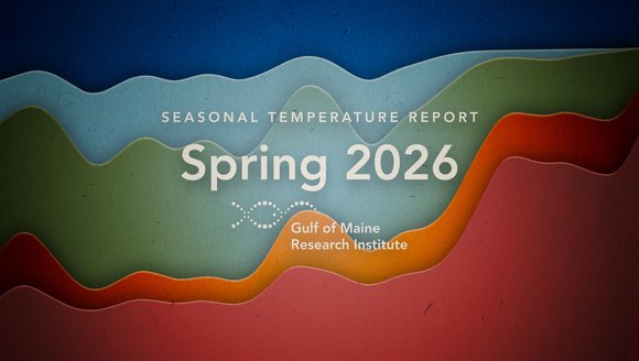
Gulf of Maine Temperature Report: Spring 2026
Over the past decade, our scientists have led a body of research that highlights temperatures in the Gulf of Maine. To keep you informed, we …
Reports
-
The Ocean Is Changing. Fisheries Around the World Can Face It Together.
Climate change is reshaping fisheries around the world, and the knowledge being generated in response, from the Gulf of Maine to the Mediterranean to the …
Perspectives
-
From Apprentice to Manager and Mentor: Kat Lipp’s Full-Circle Journey in Maine Aquaculture
“I’ve always been drawn to water.”It’s not a statement you might immediately associate with someone who grew up just outside of Cleveland, but for Mere …
Perspectives
-
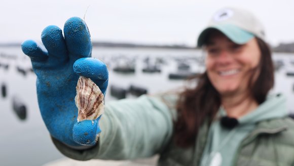
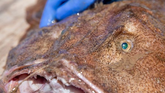
Exploring the Gulf of Maine — A Closer Look At Local Species
The Gulf of Maine is full of all kinds of marine life. Some are familiar favorites like tuna and oysters, while others are lesser-known but …
Perspectives